The 50 States: Explore the U.S.A. with 50 fact-filled maps!
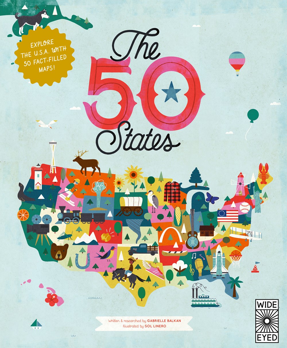
The 50 States: Explore the U.S.A. with 50 fact-filled maps!
By Gabrielle Balkan and Illustrated by Sol Linero
Paperback
Availability: In stock (available for pickup)
Couldn't load pickup availability
Shipping available from our affiliate site on Bookshop.org
The 50 States is a state-by-state guide to the USA featuring historical timelines, famous trailblazers, natural wonders and much more, all bursting from colorful, infographic maps and fact boxes.
Explore every state of the USA from Alabama to Wyoming with these 51 charmingly illustrated infographic maps! Includes an expansive guide to the state flags and US presidents.
Discover more than 2,000 facts about the people, cities, nature and historic events that have helped make America what it is today. Ghost towns, swamp tours, the center of the universe… bacon donuts, brainy berries, salmon jerky… The French Fry King, The Mother of Oregon, The Queen of Blues… be inspired by the inventiveness, beauty and diversity of our great nation in this curious collection of fact-filled maps.
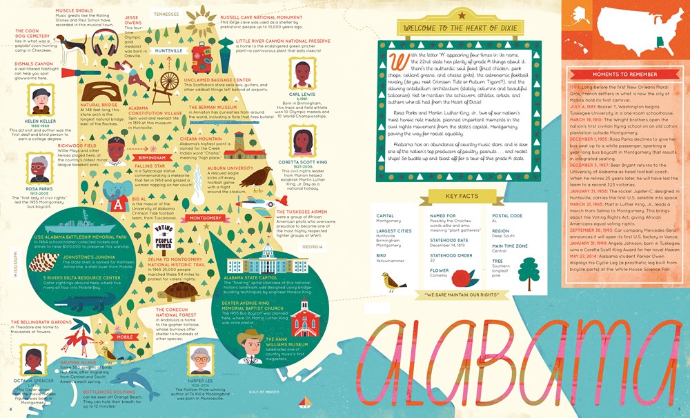
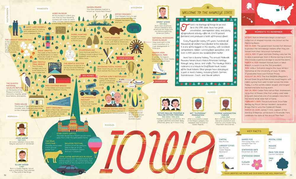
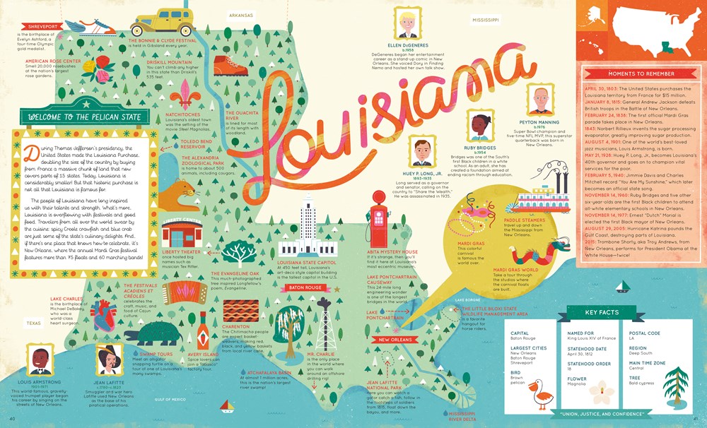
On each weird and wonderful map, find:
- A welcome box with a short introduction to the state
- Key facts, including the capital; state bird, flower and tree; and statehood order
- State icons celebrating the state’s people, places and history
- Six inspiring people who have a connection to the state
- Region spotlight bubbles to allow you to discover more about one particular place
- A moments to remember box with a list of significant dates and their events in the state’s history
Each state’s map also contains information about which states it neighbors, its bodies of water and borders as well as where it is situated in the country. Did you know that while Hawaii shares its border with no one, both Missouri and Tennessee border eight other states? Many state parks, battlefields, national forests and reservations are also included to inspire you to explore the great outdoors.
So pack your bags and say later ‘gator… the great States await! The 50 States series of books for young explorers celebrates the USA and the wider world with key facts and fun activities about the people, history and natural environments that make each location within them uniquely wonderful. Beautiful illustrations, maps and infographics bring the places to colorful life.
Also available in this series: 50 Adventures in the 50 States, 50 Trailblazers of the 50 States, Only in America, Only in California, Only in Texas, We Are the United States, and a wide range of activity books.
Share
About the contributor(s)
About the contributor(s)
Gabrielle Balkan comes from a family of book-loving teachers and is passionate about literacy, education, and good stories—just as her people taught her to be. She's made good on her degree in education by working in children's publishing and related education fields for some 15 years. Gabrielle grew up across from the Indiana State Fair and now lives in Brooklyn.
Sol Linero is a children’s book illustrator and graphic designer from Buenos Aires. Her distinctive artwork is filled with rich detail, bright colors, and a love for local culture. She has worked for Airbnb, Pottery Barn Kids, Unicef, and international magazines such as Oprah, Jamie Oliver, Wired, and Scholastic. With Wide Eyed Editions, Sol has also illustrated the best-selling 50 States series.
Book details
Book details
ISBN: 9780711291775
Publisher: Wide Eyed Editions
Date published:
Page count: 112
Categories, genres & themes: Juvenile Nonfiction / Places / United States, Juvenile Nonfiction / Reference / Atlases, and Juvenile Nonfiction / History / Symbols, Monuments, National Parks, Etc.
Ages: 7 to 10
